Log in
All resources
Create a design
10 Free Images of 17th Century Maps Of Mecklenburg Vorpommern
baroque
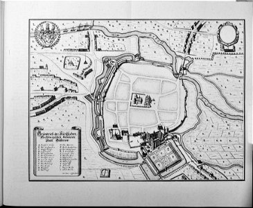
engravings of topographia saxoniae inferioris
copper engraving print
matthäus merian
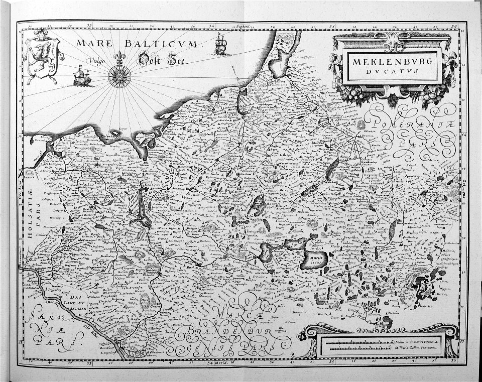
maps by willem and johannes blaeu
old maps of mecklenburg
johann lauremberg
bibliothèque nationale de france
topographia saxoniae inferioris (merian)
güstrow in the 17th century
17th-century maps of pomerania
old maps of rügen
maps of mecklenburg-schwerin
old maps of mecklenburg
17th-century maps of mecklenburg-vorpommern
johann lauremberg
engravings of topographia saxoniae inferioris
baroque
engravings of topographia saxoniae inferioris
baroque
engravings of topographia saxoniae inferioris
baroque
engravings of topographia saxoniae inferioris
baroque
maps by willem and johannes blaeu
maps of rügen by eilhard lubinus
17th-century maps of mecklenburg-vorpommern
maps of rügen by eilhard lubinus
greifswald in the 17th century
old maps of greifswald
1 - 10 of 10
/ 1